
GPS jamming and spoofing threaten maritime safety, impacting pilotage operations and navigation systems amid rising global conflicts.
GPS Jamming and Spoofing: Effects on Piloting Operations
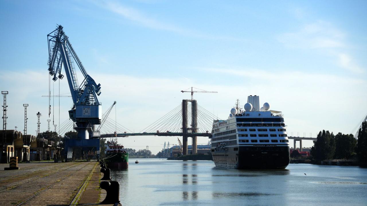
The maritime industry has undergone a transformation in recent years, becoming increasingly dependent on electronic systems and satellite-based navigation systems with the rapid integration of technology. However, this dependency has led to certain risk concepts evolving from mere terms in maritime jargon to tangible threats in daily operations. The concepts of jamming (signal interference) and spoofing (signal deception) have become threats that we hear more frequently, especially following the Russia-Ukraine War and regional conflicts in the Middle East and the Red Sea, and have even been experienced in the ports where we operate or provide pilotage services.
Since the introduction of satellite positioning systems on ships, there have been legends about the potential risks of these systems, such as the possibility that they could be turned off by the countries that own the satellites or that they could provide incorrect position information. I am sure many of us have heard these topics since the systems began to be used. During my student years, our late teacher Güven Tuncer, who taught us the intricacies of finding positions at sea and placing positions on paper charts, shared a detail he noticed while reviewing the internship notebook of a student who had just returned from a long internship. The intern noted that while his ship was sailing in the Black Sea, the GPS device showed a position for a time in a completely different part of the world and on land. As he conveyed this incident to us, our teacher indicated that such tests could sometimes be conducted by the countries that own the satellite systems, advising us never to fully trust electronic devices and to master traditional methods. Thanks to the additional satellites (DGPS), the system provides instantaneous and continuous position information with a precision of almost less than a meter without requiring any manual calculations, offering a revolutionary ease in maritime operations. This effortless high reliability, which eliminates the risks of incorrect positioning due to complex mathematical calculations and human error in traditional methods, has made us forget throughout our maritime lives the possibility that GPS systems could be manipulated or lead to major accidents.
In this article, I will examine the concepts of jamming and spoofing not only in a theoretical framework but also in terms of their operational reflections on the bridge, recent maritime accidents, and particularly their effects on pilotage services.
Concepts of GPS Jamming and Spoofing
GNSS, or Global Navigation Satellite Systems (GPS, Galileo, GLONASS, etc.), send low-power radio signals from satellites in orbit to ships or receiving stations. Since GPS is the most widely known and used system in the industry, interventions related to these systems will be defined in the maritime industry as GPS in the remainder of the article. The weak nature of signals coming from GPS satellites makes them extremely vulnerable to malicious interventions from outside. These interventions are generally categorized into two main groups: signal jamming and signal spoofing.
Signal Jamming: This is the event of preventing receivers in the targeted area from detecting satellite signals by broadcasting a much higher and stronger artificial noise, or frequency, within the frequency range in which global navigation satellite systems operate. As a result, the system becomes locked, and position information cannot be obtained from satellites for the duration of exposure, leading to immediate audible and visual alarms on the navigation devices on the bridge.
Signal Spoofing: A much more complex type of cyber attack than jamming, spoofing involves producing fake data that closely mimics satellite signals, deceiving the ship's GPS receiver. The device does not notice any malfunction and assumes it is operating normally. However, the ship's calculated position, speed, and course have been secretly manipulated.
Although jamming and spoofing concepts are quite similar, the fundamental differences between them can be summarized in the table below:
| Jamming (Signal Interference) | Spoofing (Signal Deception) |
|--------------------------------|------------------------------|
| Mechanism | Suppressing satellite signals with high frequency |
| Misleading and manipulating the satellite receiver with fake signals |
| System Response | Signal loss and interruption, GPS screens freezing |
| The system appears normal, but the position information is incorrect |
| Bridge Effect | Instantaneous and multiple alarms on navigation devices |
| No alarms, and devices show fake position information |
| Detectability | Easy for personnel to detect with alarm sounds |
| Requires visual verification and checks to be noticed |
General Risks and Effects on Navigation Safety
The loss or manipulation of GPS data on a ship does not merely mean that the position on the map is erased. Bridge systems such as ECDIS, AIS, and autopilot operate directly with GPS data. Especially since AIS devices receive dynamic data such as the position, speed, and course of targets directly from satellite systems, in the event of regional jamming, surrounding ships also become unable to broadcast their positions. As a result, the ship becomes somewhat blind, AIS targets on the screens disappear, and there is a serious alarm confusion on the bridge.
A much more insidious and critical risk than the complete loss of signal in a blinding scenario is the cases of spoofing, where data is secretly manipulated. While the ship is actually heading towards a shallow area, the ECDIS screen may show that it is navigating in safe waters. These risks are not just theoretical possibilities; they are established facts confirmed by bitter experiences in the recent past. For example, in June 2025, near the Strait of Hormuz, in a collision accident involving the VLCC 'Front Eagle' and the Suezmax 'Adalynn' tankers, intense GPS spoofing activities were reported in the area, and it was observed that the AIS route tracks of the ships crossed land masses. This incident, which occurred among ships carrying hazardous cargo, is considered one of the most concrete examples of how manipulated position information can directly lead to physical collisions. The severe fire and environmental pollution that occurred after the collision is also the clearest evidence of how devastating the consequences of a small position manipulation on digital screens at sea can be.
In such a signal manipulation, the position information broadcasted through the ship's AIS device will be incorrect, leading to the transmission of false AIS position information to surrounding ships or authorities such as Vessel Traffic Services. If AIS data is used on ARPA radar, ghost ship routes will emerge. One of the most dangerous points is the potential loss of awareness among ship personnel regarding this issue due to the normalization of such interventions in certain regions caused by ongoing global wars. Over time, ship personnel may become desensitized to the constantly ringing malfunction alarms, which can pave the way for real dangers to be overlooked and for a vital danger not related to GPS to be missed. Additionally, the simultaneous presentation of conflicting data by multiple devices will increase the cognitive load on the bridge team, hindering their ability to make correct decisions during a crisis.
Effects on Piloting Operations and Ship Maneuvers
A GPS failure occurring at sea can be tolerated using alternative traditional navigation methods (such as celestial navigation or dead reckoning). However, the margin for error will be quite low in waters where ships are approaching ports, navigating narrow channels, and dealing with navigational hazards and heavy traffic.
Port areas and narrow channels are inherently constrained areas where ships pass very close to each other and where depths fall below limits. Even during these routine maneuvers, there is already intense alarm traffic on the bridge due to warnings such as CPA (Closest Point of Approach), shallow water, or course deviation. Indeed, the International Maritime Pilots Association (IMPA) has recently brought to international attention through a special survey how the alarm confusion and unnecessary noise on the bridge during piloting operations distract pilot captains. When the results of this survey conducted by IMPA are officially announced, I plan to analyze the obtained data and the effects of alarm fatigue on maneuver safety in detail in a future article. However, one clear fact at this stage is that adding false and constant alerts caused by GPS spoofing or jamming to this normal alarm situation, which already significantly increases the cognitive load on the bridge team, can complicate the decision-making mechanism of the pilot captain managing the maneuver during a crisis in narrow waters.
The Turkish Pilots Association (TKKD) also draws attention to this vital issue facing maritime operations in the announcement titled 'Request for Information on GNSS Spoofing and Jamming Incidents' published on March 10, 2026. In this announcement, it is stated that as part of a large-scale study conducted by the European Maritime Pilots Association (EMPA), pilot captains operating in Turkey are requested to record real intervention cases they encounter in the field to be used in analyzing risks to maritime safety at the international level and in creating new regulations. Indeed, in March 2025, EMPA, along with the European Tugowners Association (ETA) and the European Dredging Association (EuDA), emphasized once again the seriousness of this threat in a joint statement submitted to the European Commission. The statement clearly expresses that the presence of highly trained professionals like pilot captains, who can take the initiative to safely manage the ship during unpredictable crisis moments when digital autonomous systems are mistaken or manipulated, is of vital importance.
When we evaluate the piloting operations in specific navigation areas, particularly in the long channel navigations in some countries, portable pilot units (PPUs) that pilot captains bring with them as an important decision support system provide high-precision navigation data such as position, speed, and rate of turn (ROT) by largely utilizing independent satellite sensors and Real-Time Kinematic (RTK) corrections. However, a professional spoofing attack that could occur during the use of these devices could manipulate the data provided by the PPU, leading to irreparable accidents. The intervention may not only involve a static position shift but also aim to disrupt the pilot captain's perception of the ship's momentum through small interventions on speed vectors and rate of turn (ROT). The reflection of these theoretical risks in the field is quite striking. Especially due to the increasing cases of electronic manipulation in Northern Europe, institutions such as the Norwegian Coastal Administration (NCA) are issuing serious warnings regarding navigation safety. Reports from the field and feedback from pilot captains show that both ship equipment and PPU devices are increasingly experiencing GPS signal loss or intervention. Due to this high risk, many European countries, including the Netherlands Pilots Organization (Loodswezen), have decided to equip PPU devices with special jamming and spoofing warning systems. Additionally, the integration of Inertial Measurement Units (IMU/INS) into next-generation PPU hardware has been an important technological step towards providing the critical few minutes of accurate inertial data needed to safely cancel maneuvers even if GPS signals are lost or manipulated.
One of the most recent and striking examples of the operational consequences of GPS interventions occurred on May 11, 2025, in the Red Sea. The 7,000 TEU capacity container ship MSC ANTONIA ran aground approximately 100 nautical miles south of Jeddah. Just two days before the accident, a report of intense GPS signal jamming was issued by UKMTO in the area, and the inconsistent and irregular route traces in the ship's AIS records revealed that the accident was directly caused by GPS manipulation. Even the tugboats that came to assist in the area were exposed to similar signal anomalies, severely complicating the coordination and position verification processes between the main ship and the rescue elements. This case has once again highlighted the vital importance of signal security in routes that require high-precision positioning as an example of a risk threatening the safety of piloting in port approaches.
As all these cases demonstrate, especially the mismatch between radar images and ECDIS data in a narrow channel creates a dangerous contradiction between the visual perception obtained by the pilot captain looking outside and the instrumental data.
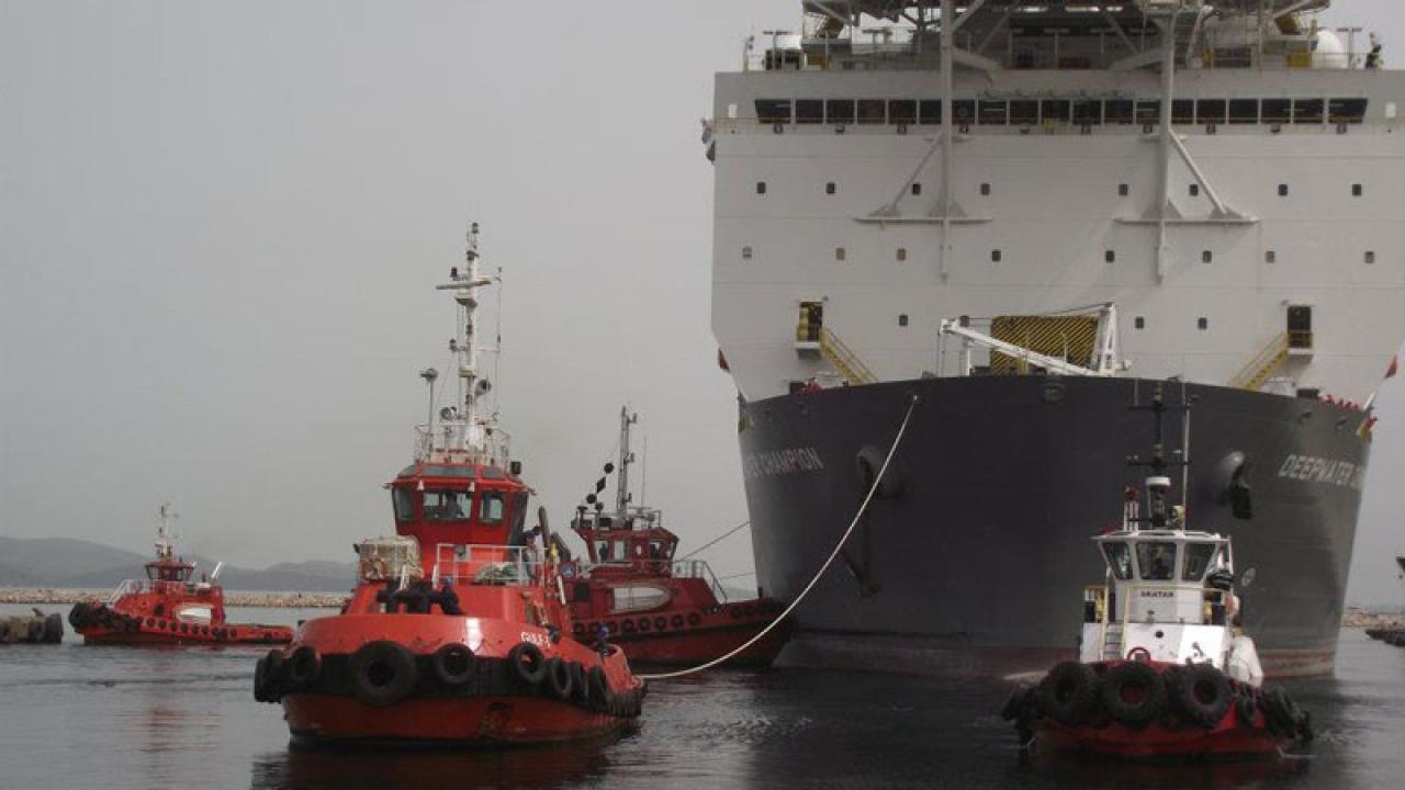
In terms of tug operations, another critical component of ship maneuvering; there have not yet been any directly reported accident effects of jamming and spoofing cases in the literature. Although tugs may be exposed to these signal manipulations, their high maneuverability, geographical familiarity in narrow waters, and the nature of the operation often allow them to use visual navigation methods to eliminate these risks. Furthermore, the different frequency bands of the VHF radio frequencies, which are the primary communication tool between the pilot captain and the tug, compared to the frequency band in which the GPS system operates, also allows for communication safety to be maintained in cases of spoofing or jamming.
Managing Risks and Returning to Traditional Positioning Methods
To successfully manage the risks associated with GPS, it is crucial to verify positions using alternative methods suitable for the dynamics of the navigation area, maintaining awareness and a state of suspicion. The positioning methods to be applied to ensure navigation safety can be categorized according to the ship's location. In areas such as coastal navigation and narrow waters, where land masses can be used for bearings; traditional methods such as adding radar images to ECDIS screen displays (radar overlay), confirming the ship's position using parallel indices, and taking visual bearings should be given absolute priority, independent of GPS data. Additionally, cross-checking the depths read from the depth sounder with the contours on the ECDIS map will be another critical step in detecting manipulation. On the other hand, in open sea navigation where no land masses can be used for bearings; checking the approximate position using gyro compass and dead reckoning techniques, along with traditional celestial navigation applications, will be alternatives to ensure navigation safety during the dark moments when GPS is left in the dark.
While celestial navigation is the only alternative to electronic navigation in open sea navigation, the lengthy calculation processes and application difficulties can pose practical obstacles for modern sailors. At this point, innovative solutions that blend technology with traditional methods come into play. Indeed, one of the recent developments that inspired me in preparing this article was the professional exchange we conducted through LinkedIn with South Korean Dr. Young Sub Lee. The digital sextant developed by Dr. Lee and his team, which has already been integrated into the standard navigation equipment of the South Korean Navy, combines traditional celestial navigation principles with modern algorithms to perform independent position calculations in less than a second. Dr. Lee states that the aim of his innovative approach is not to completely change existing electronic navigation systems but to provide ships with a quick and reliable positioning reference during crisis moments when GPS signals are jammed or manipulated.
Beyond all these operational and technical risks, another point that should not be overlooked is how the legal liability of the ship captain and pilot captain will be evaluated from the perspective of maritime law in the event of an accident caused by manipulated data due to cyber interventions.
At this very point, pilot captains are rising from being local knowledge providers on digitalized ship bridges to becoming ultimate cyber-physical verifiers who confirm the truth with visual and experiential methods in crisis moments when electronic systems are manipulated.
Dr. Capt. Mustafa SÖKÜKCÜ
[email protected]
Sources Utilized:
Turkish Pilots Association (TKKD). 'Request for Information on GNSS Spoofing and Jamming Incidents,' announcement dated March 10, 2026.
Riviera Maritime. European tug owners and pilots: safety is paramount for EU port strategy. https://www.rivieramm.com/news-content-hub/news-content-hub/european-tug-owners-and-pilots-safety-is-most-important-for-port-strategy-84300
Lee, Y. S. Korea digital sextant: LEEYOUNG SND_DS_Ev2.0 (Technical Presentation / Company Brochure).
Maritime Global Security (2nd Edition). Jamming and Spoofing of Global Navigation Satellite Systems (GNSS). https://www.maritimeglobalsecurity.org/media/2cwigtc4/2025-jamming-and-spoofing-2nd-ed-web.pdf
Riviera Maritime. MSC box ship grounds in apparent GPS jamming incident. https://www.rivieramm.com/news-content-hub/news-content-hub/msc-box-ship-grounds-in-apparent-gps-jamming-incident-84821
Cydome. Tankers collide in the Gulf, analysts suspect GPS jamming. https://www.cydome.com/blog/tankers-collide-in-the-gulf-analysts-suspect-gps-jamming
Splash247. MSC boxship grounds in the Red Sea amid GPS jamming reports. https://splash247.com/msc-boxship-grounds-in-the-red-sea-amid-gps-jamming-reports/
GEOD. How a PPU determines accurate position and speed. https://geodproducts.com/vessel-position-accuracy-pilots-need-ppu/
Schuttevaer. Rotterdam Port PPU Usage and Digital Navigation Reports. https://www.schuttevaer.nl/
Source: SeaNews Türkiye